Bes-ford SJ 551 250. Derivation: Betti's Ford.
 |
Besford (Betti’s ford) is described in "Place Names of Shropshire"
Volume One (page 44). It was a Domesday Manor, but now consists of one
or two farmhouses on the road from Moreton Corbet to Wem. A small stream
crossed the road next to these farmhouses and joined the river Roden soon
afterwards. This crossing was probably Betti's ford and so was another
example of a ford place-name referring to the crossing of a minor tributary
on a road running alongside a larger river. In 1588, the stream was called
"Fulford Brook" - called after another ford about a mile to the west of Basford.
In Domesday the spelling was "Betford", but by 1244 it had become "Beyford"
and was "Besford" in 1249. Later versions included "Besseford" and "Basseford",
but the present spelling is "BESFORD". Besford was a detached part of Shawbury parish,
but now lies in Moreton Corbet parish. |
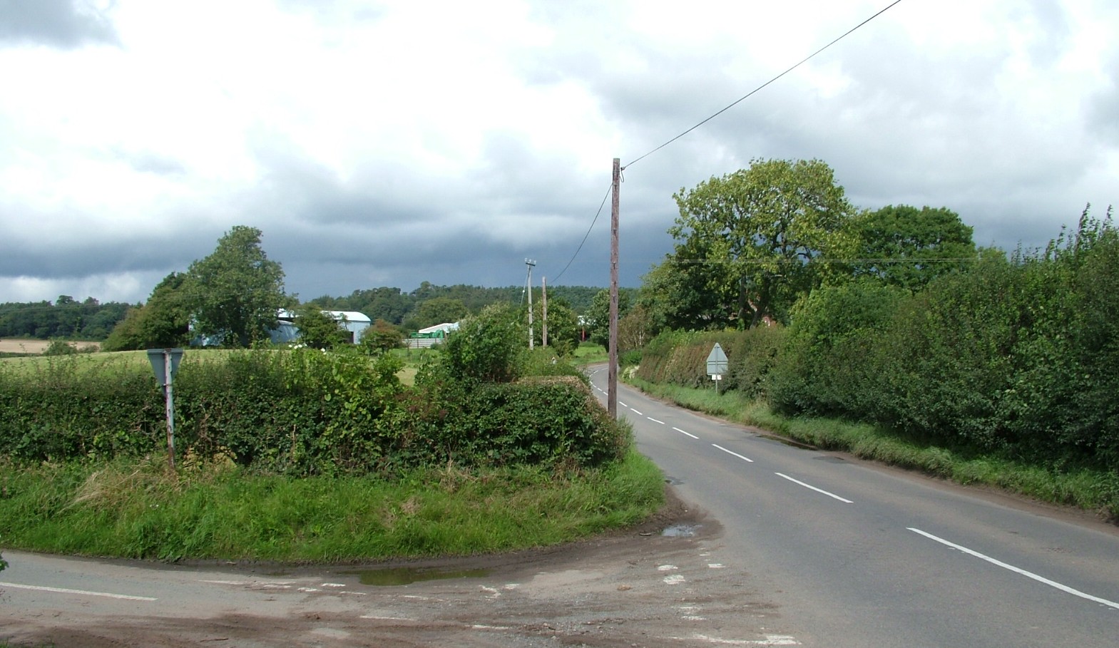
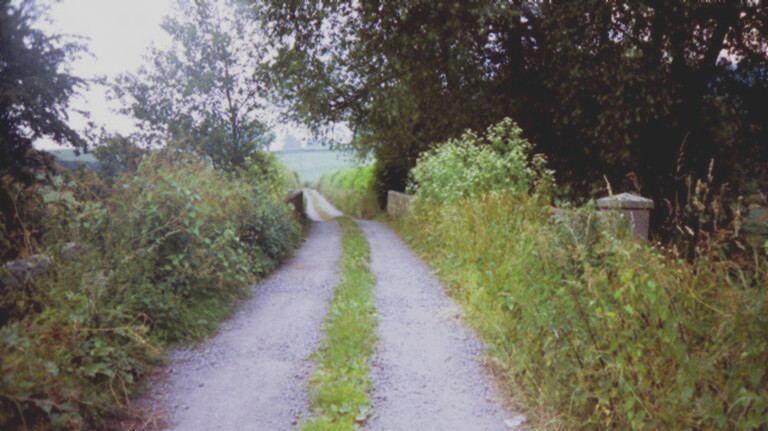
| The first picture (taken in 2008) showed the view looking north along the road
from Moreton Corbet, with the road to Preston Brockhurst on the right. The
farmhouse and buildings of Besford Farm were in the centre of the picture and
the bridge over the stream was just to the right of the telegraph pole. |
 |
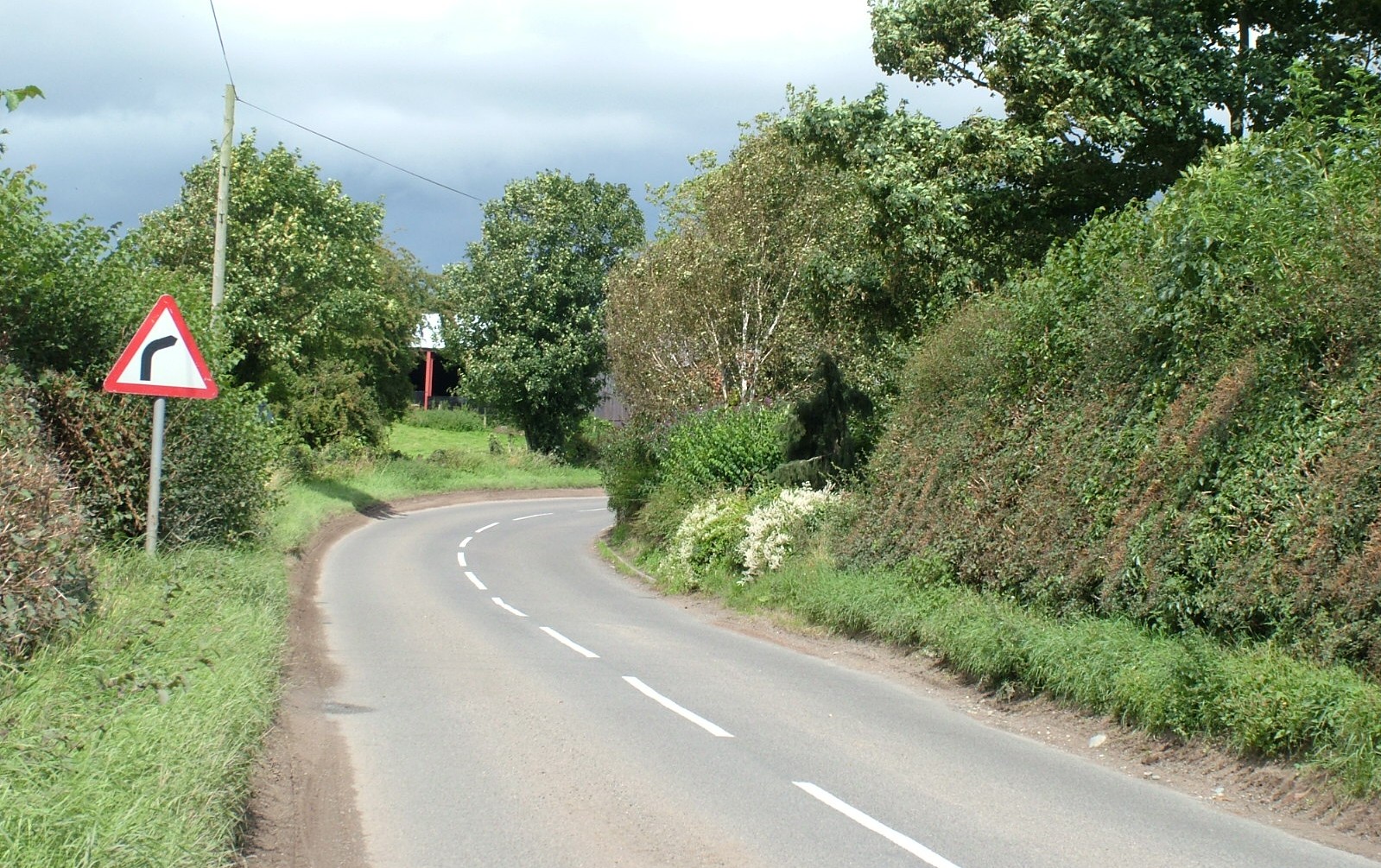 |
The next picture was taken from a closer position and it showed that the
stone bridge was covered with white flowers. The level of the stream was well
below that of the road and surrounding fields and there was little
sign of its presence - the road continued with no dip or hump to indicate the
crossing. |
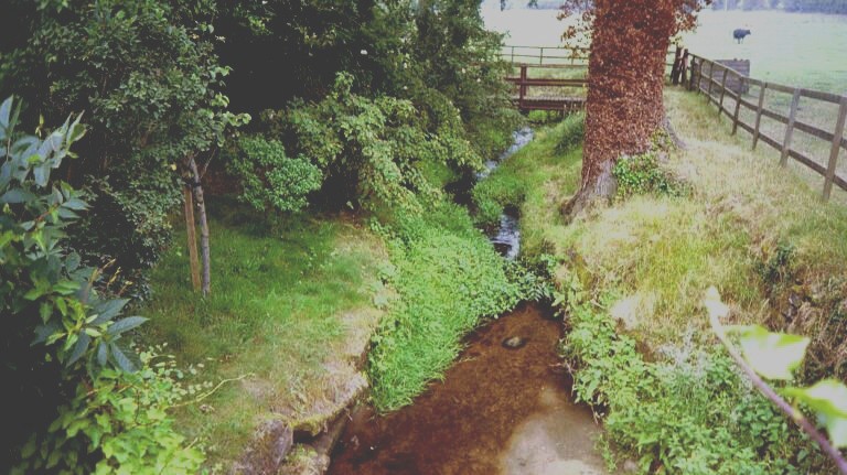
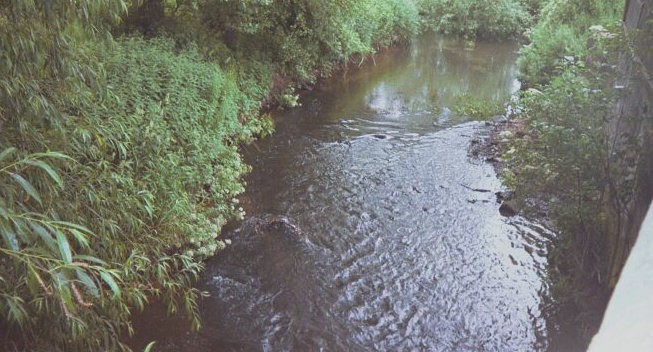
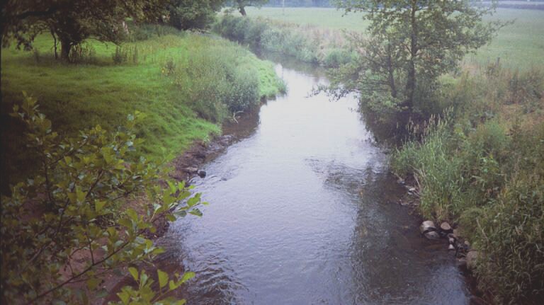
| Looking over the bridge, the stream could be seen some feet below. The
picture taken in July 2000, looking down from the bridge towards the river Roden,
showed it clearly. In 2008, the sides of the stream were more overgrown and so a
later picture would not have shown the position as clearly. |
 |
The Roman road (Watling Street running north from Wroxeter to Whitchurch)
probably crossed the Roden by a bridge somewhere near Harcourt Mill. When this
bridge decayed and fell into disuse, the route to Whitchurch changed to run
along the west bank of the Roden until it joined the main road from
Shrewsbury to Whitchurch crossing the Roden at Lee Brockhurst. The name "Besford"
indicates that this route was in use by the time of the Domesday book.
Harcourt Mill was visited in 2000, when the pictures were taken.
 |
 |
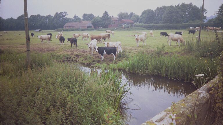
| Cows in the field by Harcourt Mill above the bridge. |
River Roden downstream of the modern bridge. |
 |
Another site which was visited in 2000, was the Papermill
Bridge near Besford. This is now part of the Shropshire way and
used by hikers. The Shropshire Way comes down the old road from
Lee Brockhurst towards Besford and Moreton Corbet, but then crosses
the river Roden by the Papermill bridge and continues south along the
east side of the river Roden. This part of the Roden is deep and
slow moving, with soft muddy banks - not a very suitable position
for a ford. |
| Papermill Bridge near Besford. |
|
 |
 |
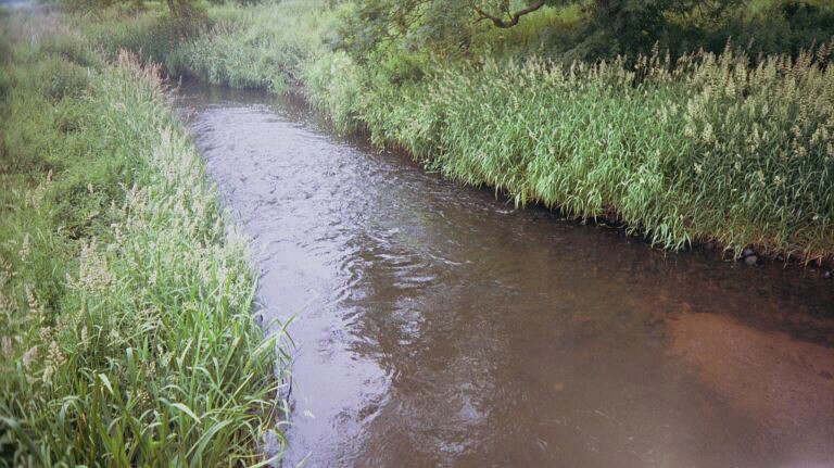
| River Roden by Papermill Bridge. |
River Roden by Papermill bridge. |
References: Margaret Gelling in collaboration
with H.D.G.Foxall, The Place Names of Shropshire, Part One: Major Names,
English Place Names Society (1990), p.44.
OS Landranger series No 126.